Escursioni offline a piedi, in bicicletta, in auto – Navigazione con privacy
Scopri di più sul tuo viaggio - Realizzato dalla community
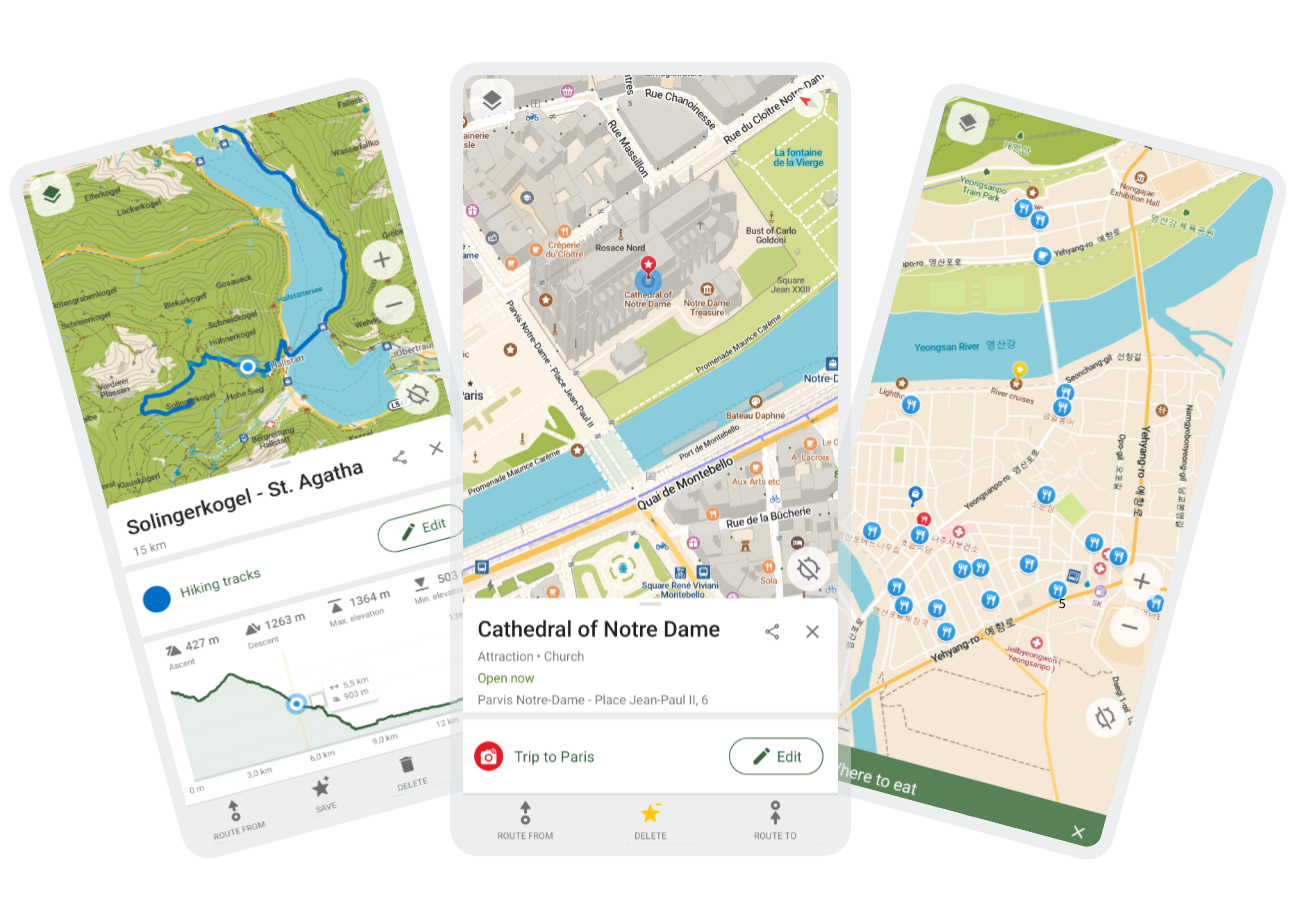
Community + Mappe aperte












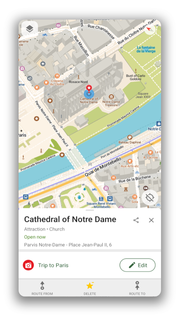
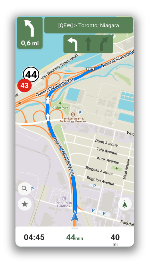
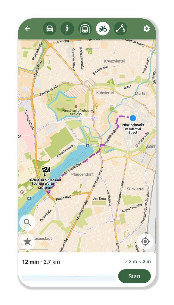
Offline Search and Routing
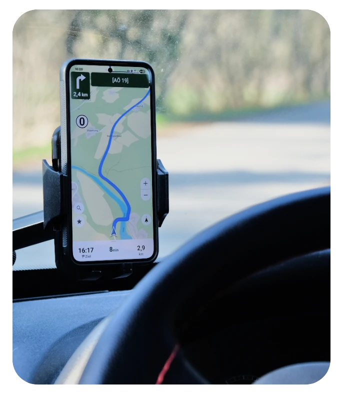
Plan and navigate your trip abroad with just GPS, no need for mobile data. Search waypoints while on remote hiking trails or bike paths. Navigate with turn-by-turn instructions by foot, bike or car, including voice announcements.
Hike with the Information you Need
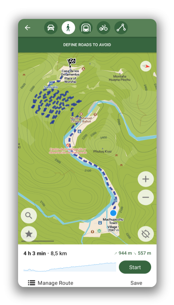
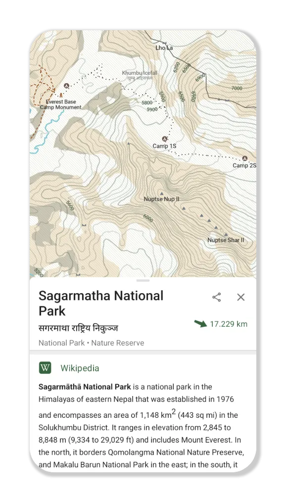
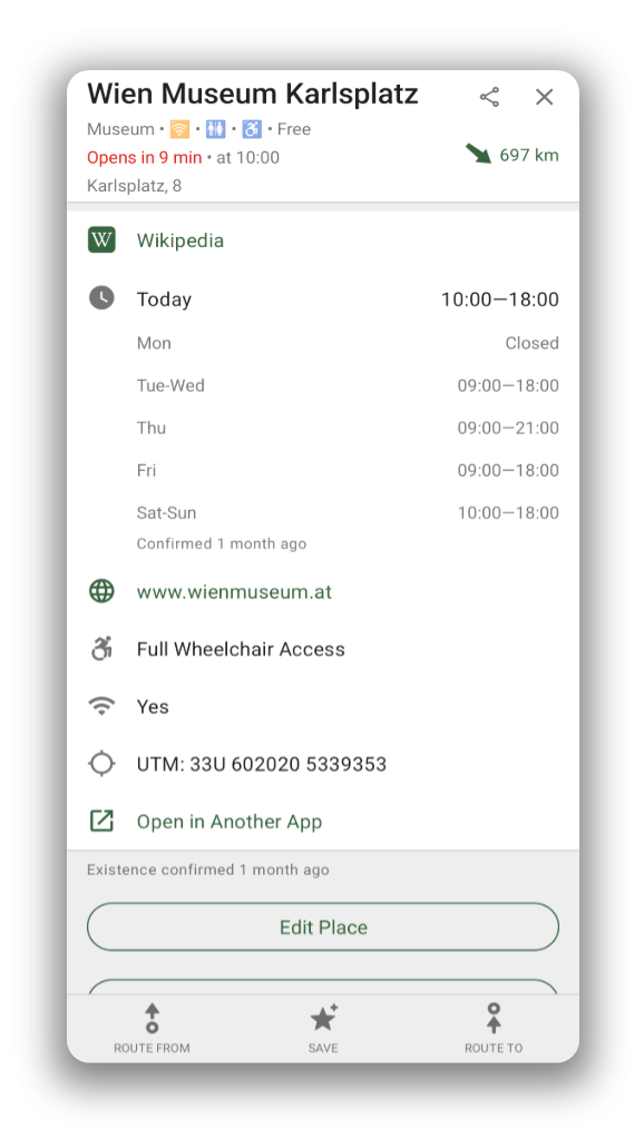
Use the outdoor mode to highlight hiking trails, campsites, and water sources. Enable contour lines to plan your trip. Spot an interesting peak along the way? Use the offline Wikipedia articles to learn more about it!

Risparmia la tua batteria
Utilizza la batteria in modo efficiente e non la spreca come altre app di navigazione.

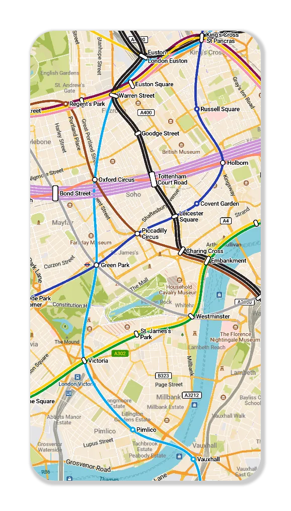
Get around the City
Use the public transport layer to plan your subway and light rail journeys in a growing list of cities.

Nessuna raccolta dati
The app is designed with privacy in mind - does not identify people, does not track you, and does not collect any information. CoMaps was also audited by

A True Alternative
CoMaps is recommended by Switching Software, European & Open Source Alternatives, Digital Independence Day ,and Framastart as an ethical, easy-to-use and privacy-conscious alternative to commercial maps.

Gratuito e realizzato dalla comunità
Persone come te stanno contribuendo a costruire l'applicazione aggiungendo località a , fornendo feedback sulle funzionalità e contribuendo al codice su creando le migliori mappe insieme. Questo progetto è un fork di Organic Maps e Maps.Me ed è guidato dalla community open-source.

Questi progetti si affidano a noi
CoMaps è preinstallato su questi sistemi operativi come app di mappe predefinita.


La libertà è qui
Scopri il tuo viaggio, naviga nel mondo con la privacy e la community al primo piano.
Scarica