A pé, na bici ou automóbil, sen conexión da datos e con Privacidade
Descubre o que che ofrece o camiño - Grazas á comunidade
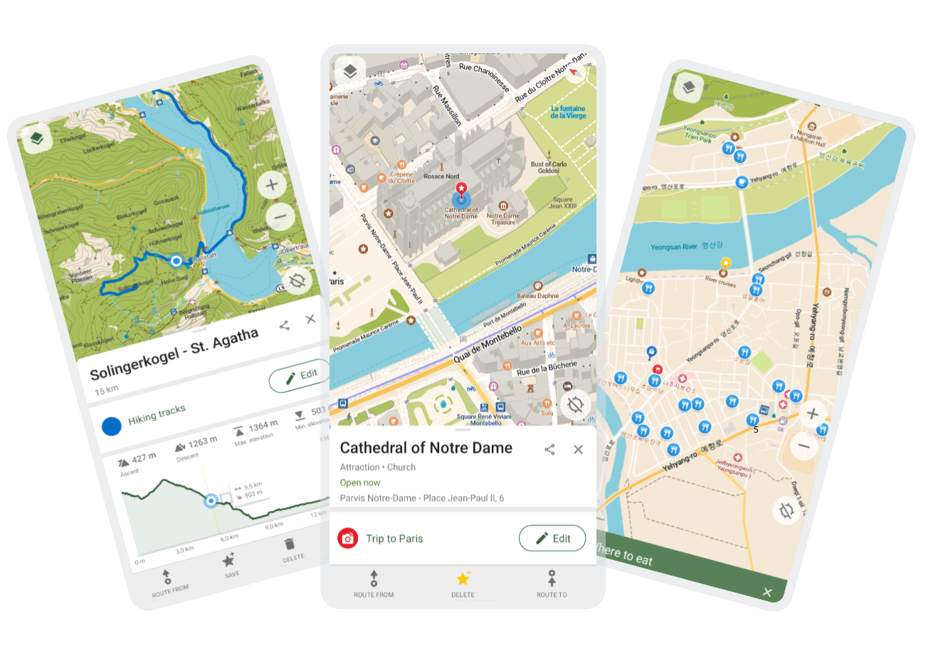
Comunidade + Mapas Abertos












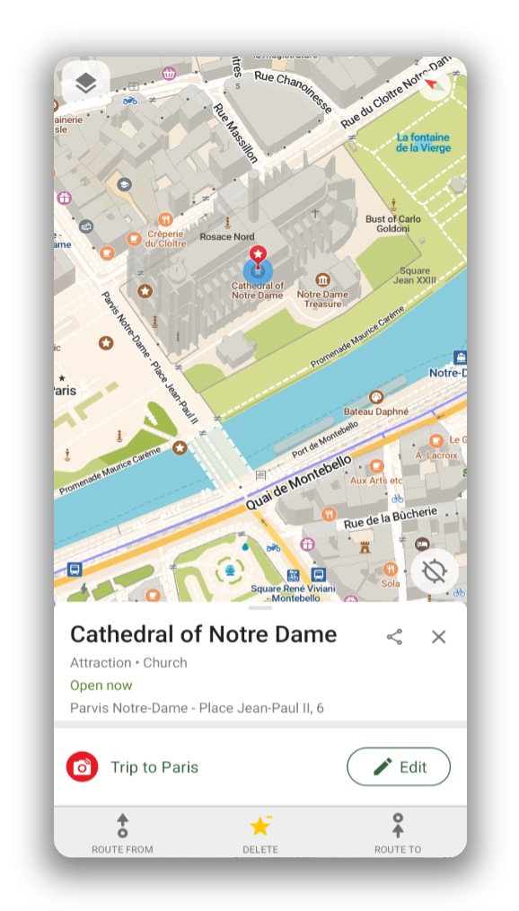
Offline Search and Routing
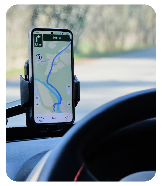
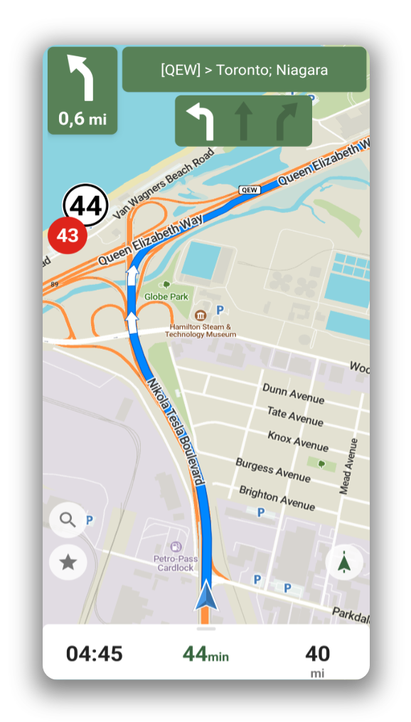
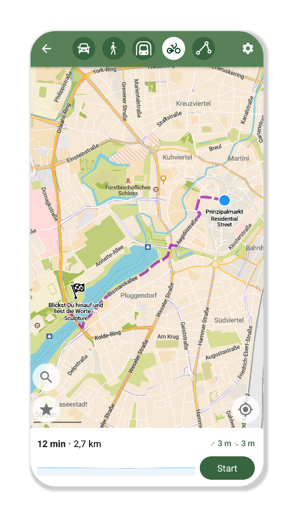
Plan and navigate your trip abroad with just GPS, no need for mobile data. Search waypoints while on remote hiking trails or bike paths. Navigate with turn-by-turn instructions by foot, bike or car, including voice announcements.
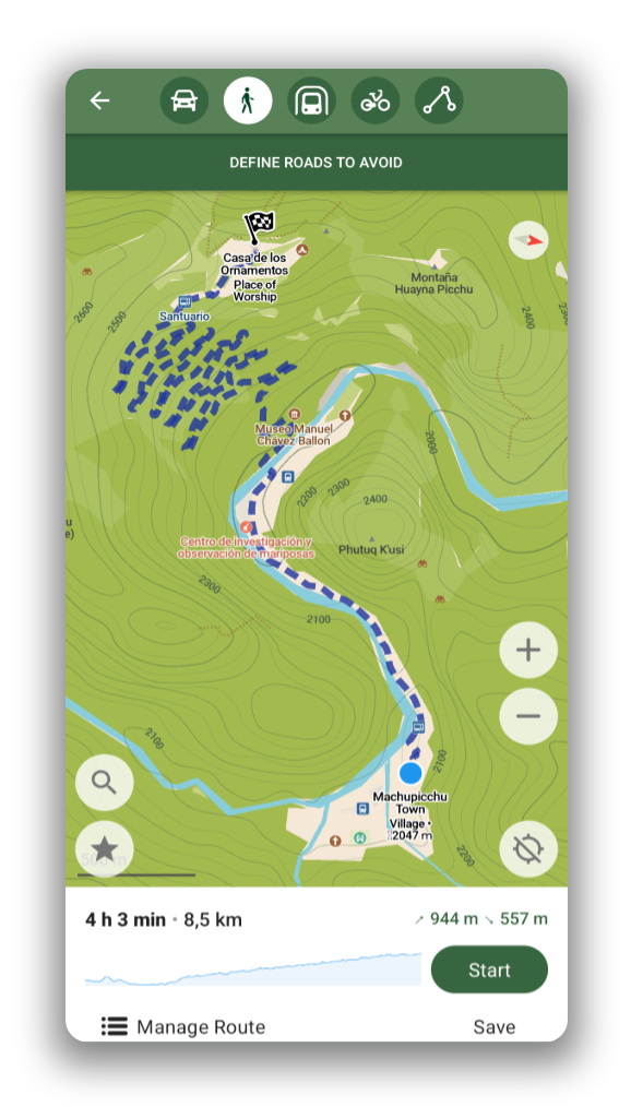
Hike with the Information you Need
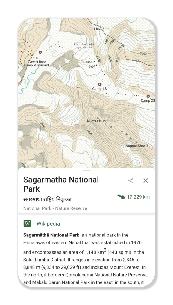
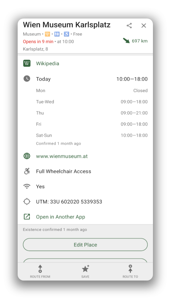
Use the outdoor mode to highlight hiking trails, campsites, and water sources. Enable contour lines to plan your trip. Spot an interesting peak along the way? Use the offline Wikipedia articles to learn more about it!

Aforra batería
Uso eficiente da batería, non a esgota tan axiña como outras aplicacións para navegar.

Get around the City
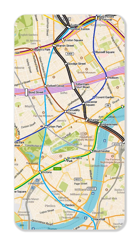
Use the public transport layer to plan your subway and light rail journeys in a growing list of cities.

Sen recoller datos
The app is designed with privacy in mind - does not identify people, does not track you, and does not collect any information. CoMaps was also audited by

A True Alternative
CoMaps is recommended by Switching Software, European & Open Source Alternatives, Digital Independence Day ,and Framastart as an ethical, easy-to-use and privacy-conscious alternative to commercial maps.

Gratuíta e feita pola Comunidade
Persoas coma ti axudan a mellorar a aplicación engadindo localizacións a , facendo recensións das novas características, e aportando ao código en para crear mellores mapas. O proxecto é unha derivación de Organic Maps e Maps.Me, xestionado por unha comunidade do código aberto.

Coa confianza destes proxectos
CoMaps ven preinstalado nestes sistemas operativos como a aplicación de mapas por defecto.


Aquí es libre
Atopa o teu camiño, navega polo mundo con privacidade e priorizando a comunidade.
Descargar